Growing up in The South, accumulating snowfall is a very big deal.
As with Christmas and certain other celebrations, life as a child with a depressed parent is all the more exciting during snowfall in The South.
Kids can be bribed to Be Happy, just as your little dog, smelling that food on your breath, is happy to see you, thinking you'll give it more food for doing its trick (manipulated into pretending to be happy to see you because you need a filthy little animal to worship you and your pathetic, meaningless life).
From South Carolina, I moved to Seattle in December 1998.
Seattle reminds me a lot in terms of snowfall in The South.
In Seattle, the mainstream media begins shrilly reports about two-weeks in advance of a 20% chance of snowfall. Often they mention the location as The Hills, an area around the city and suburbs that is 500 feet and above.
3 months later, the average snowfall for Seattle is only about 1 INCH per year.
Spokane, about three hundred miles away on the other side of the state, is going to average about 4 FEET of accumulated snowfall during EACH winter.
The National Weather Service Forecast office in Spokane publishes records, that I follow, of the climate data for each year going back to the year 2000.
For the winter of 2017-2018 they record at the airport an accumulated snowfall total of 49.3 inches.
2016-2017: 61.5 inches
2015-2016: 34.2 inches
2014-2015: 17.6 inches
2013-2014, the first winter I've lived here: 37.6 inches
That adds up to 200.2 inches or almost 17 feet.
Beginning now my sixth winter (2018-2019) of continuous occupation of Spokane, I'm anticipating the almost inevitable new snowfall period during early November, a couple weeks away from now.
I've always enjoyed the outdoors so weather has always been important to me.
I am also anticipating those early snowfalls of the season because they seem to consist more of those heavy snowflakes that aren't always present later in the season out here. A different moisture source as the season progresses, is my guess, most likely the result of a colder atmosphere aloft. I'm thinking about it because of a new strategy I have for digital photography. There won't be very many opportunities for me to get it right. I haven't been for very long an amateur digital photographer and I slowly learn new methods of manipulating my camera, mostly from trial and error, capture a lot of images and study those later, and they usually disappoint me. A few months ago I turned a corner of dullardness and gained significant insight into the operation of my best camera.
I used to have so many film photographs from my days in the United States Navy that I often wish I still had and for illustrating certain blog posts I make.
I burned all those photographs. Back in the year 2005. I was homeless in June 2005. Just before those magical calendar days of June 9th and June 11th and others. Those days that make me more and more think that my past is something almost mystical. Only a few months ago did the notion occur to me to analyze that date 3/1/2004. The facts I allege about My Forgotten Past came first to my mind. Then I started plugging in those details to my computer program that I created and then the magic appears. Startling.
The thoughts in my mind would be completely MEANINGLESS IF NOT for that code pattern I have logically created.
Since I've lived here in Spokane the earliest snowfall I've personally seen was on October 28, 2013. Very possibly snowfall could happen, lightly, at times when I am not looking out the window. Those frivolous occurrences would cause a frenzy in The South, as I recall it.
http://cliffmass.blogspot.com/2018/10/the-winter-transition-is-imminent.html
Cliff Mass Weather and Climate Blog
Saturday, October 20, 2018
The Winter Transition is Imminent
It is like falling off a meteorological cliff. And it happens every year. The transition to winter weather in the Pacific.
It is a real meteorological curiosity. Our Septembers are marvelous, and the first two weeks of October are often splendid, with low clouds in the morning and lots of sun in the afternoon. The trees turn flaming colors and our sunsets are often magnificent. A view above the fog yesterday, supplied by Greg Johnson of Skunk Bay Weather takes your breath away (below). We are living in Paradise.
But then, generally in the third week of October, a meteorological switch is pulled and the weather changes. The storm track, which had been happy to savage southern Alaska, moves southward into our region, shifted by the development of a broad area of low pressure over the Gulf of Alaska. Rain and clouds move into the Pacific Northwest, 60s and 70s become fond memories, and Northwest residents hunker down for roughly four months of moisture and inadequate sun.
It is the price we pay for the bounty of water that gives us massive hydropower, great agricultural productivity, our fisheries, and more. It is also protection from a major northward onslaught of Californians.
This morning is a typical mid-October day, with low clouds over the lower elevations but bright sunshine aloft (see the 9 AM visible satellite image Saturday morning). If you want sun now, get above roughly 1500 ft or head eastward. Sun should reach the lowlands later today.
Our nice fall weather will end later on Tuesday, as the circulation over the Pacific moves towards its winter arrangement. One way to see this transition is from a very nice graphic found in the Seattle RainWatch website that shows the precipitation forecasts from the NAEFS ensemble prediction system for Seattle.
Remember that an ensemble systems runs many forecasts, each slightly different, that helps one get a measure of the uncertainty of the forecast. In this graphic, the median of all the forecasts (of 6-h precipitation) is shown by the horizontal red line and 50% of the forecasts are within the boxes. The extremes are indicated by thus plus signs.
The message is stunningly clear. Dry until Tuesday, followed by two wet events, and then we settle into a period of light precipitation. Very typical for this time of the year.
Looking at the NOAA/NWS GEFS ensemble, but this time viewing surface air temperature at Seattle, we can expect warming temperatures the next few days, including perhaps our last 70F day this year, followed by a decline into highs in the 50s (the black line is the average of the ensemble forecasts....a very good forecast in general). Not much uncertainty for the first few days, but a lot at the end (the various forecasts in gray have differences).
Finally, let me show you how the atmospheric circulation will change by presenting the current and future winds near jet stream level--the 300 hPa pressure level or around 30,000 ft. The colors indicate the wind speeds and the solid lines are the heights of the pressure surface (equivalent to pressures on a constant height surface).
Today at 2 PM, there is a low-amplitude ridge of high pressure over us and a weak jet stream is across southern Alaska and Canada.
But by Wednesday at 11 AM the situation is radically different. A tough of low pressure has pushed south of the Aleutians and a MUCH strong jet stream has set up due west of us. The meteorological hose will be directed right at us. Be ready.

DSC00684.jpg - Kerry Burgess, 03 November 2017

DSC00687.jpg - Kerry Burgess, 03 November 2017

DSC00689.jpg - Kerry Burgess, 03 November 2017

DSC00416.jpg - Kerry Burgess, 28 October 2013

DSC00414.jpg - Kerry Burgess, 28 October 2013

DSC00466.jpg - Kerry Burgess, 05 November 2013

DSC00467.jpg - Kerry Burgess, 05 November 2013

DSC00470.jpg - Kerry Burgess, 05 November 2013
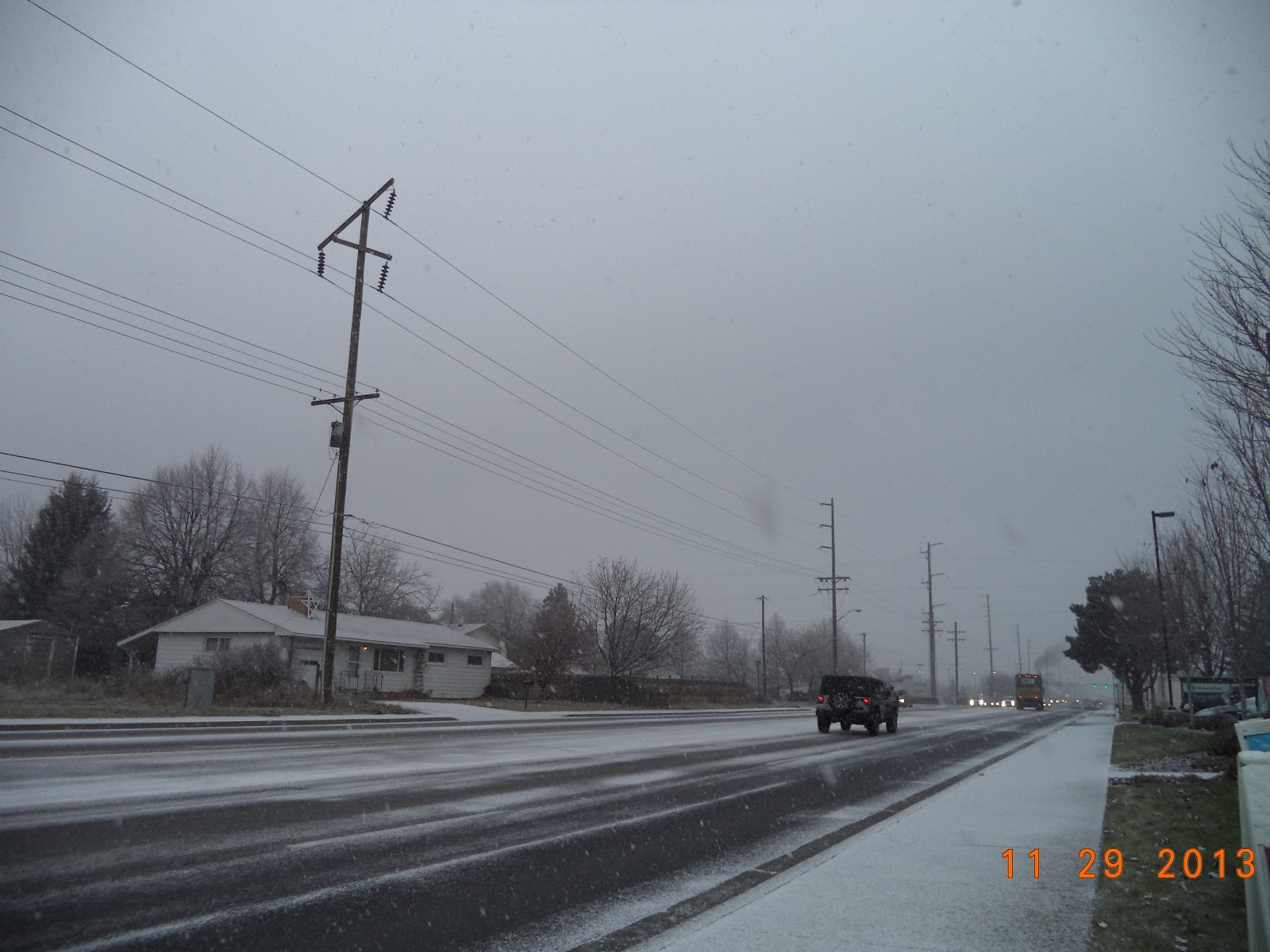
DSC00598.jpg - Kerry Burgess, 29 November 2013

DSC00599.jpg - Kerry Burgess, 29 November 2013

DSC06115.jpg - Kerry Burgess, 10 November 2014

DSC06173.jpg - Kerry Burgess, 10 November 2014

DSC06280.jpg - Kerry Burgess, 11 November 2014

DSC06640.jpg - Kerry Burgess, 20 November 2014

hDSC00850.jpg - Kerry Burgess, 16 November 2015

hDSC00851.jpg - Kerry Burgess, 16 November 2015

hDSC00879.jpg - Kerry Burgess, 24 November 2015

2016November27_Chloe55_DSC01074.jpg - Kerry Burgess, 27 November 2016

2016November27_Chloe55_DSC01076.jpg - Kerry Burgess, 27 November 2016

2016November28_Chloe55_DSC01094.jpg - Kerry Burgess, 28 November 2016

2016December11_Chloe55_DSC01581.jpg - Kerry Burgess, 11 December 2016

DSC00661.jpg - Kerry Burgess, 03 November 2017

DSC00678.jpg - Kerry Burgess, 03 November 2017

DSC00883.jpg - Kerry Burgess, 06 November 2017

DSC02208.jpg - Kerry Burgess, 15 December 2017

DSC02340.jpg - Kerry Burgess, 15 December 2017
- posted by Kerry Burgess 9:46 PM Pacific Time Spokane Valley Washington USA Sunday 21 October 2018